
We are going to finish the writing of a kml server that reads a MapServer mapfile and with minimal or zero configuration can serve vector and raster data in kml format.
At the moment, there is limited support for line and polygon classes and styles, while icons symbols for point layers are fully functioning.


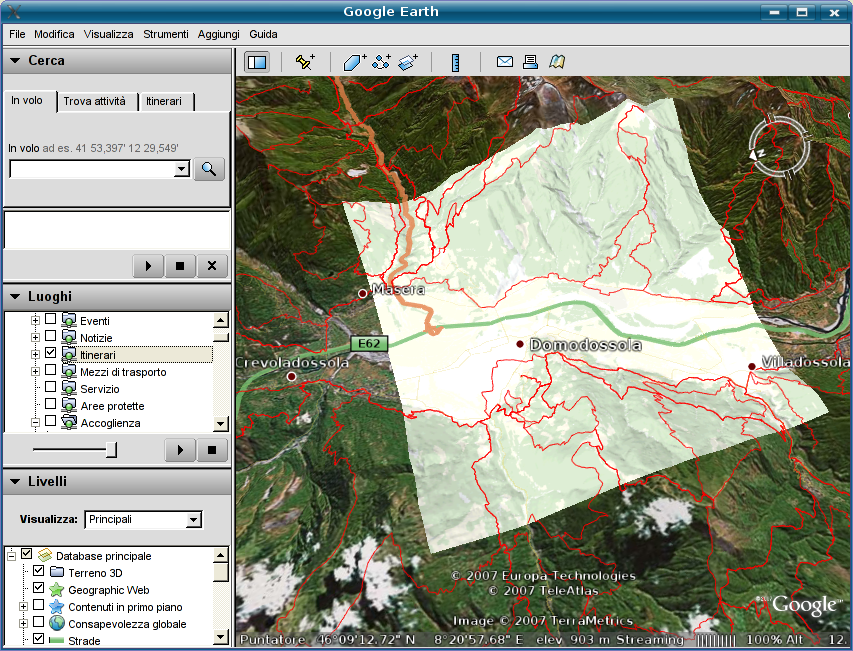 A simple caching mechanism is also available, since for big vector layers, processing time can be an issue.
Raster layers are supported as network links to WFS MapServer.
Though more testing is required, the server is basically finished and fully functional.
See all the details >>
A simple caching mechanism is also available, since for big vector layers, processing time can be an issue.
Raster layers are supported as network links to WFS MapServer.
Though more testing is required, the server is basically finished and fully functional.
See all the details >>